|
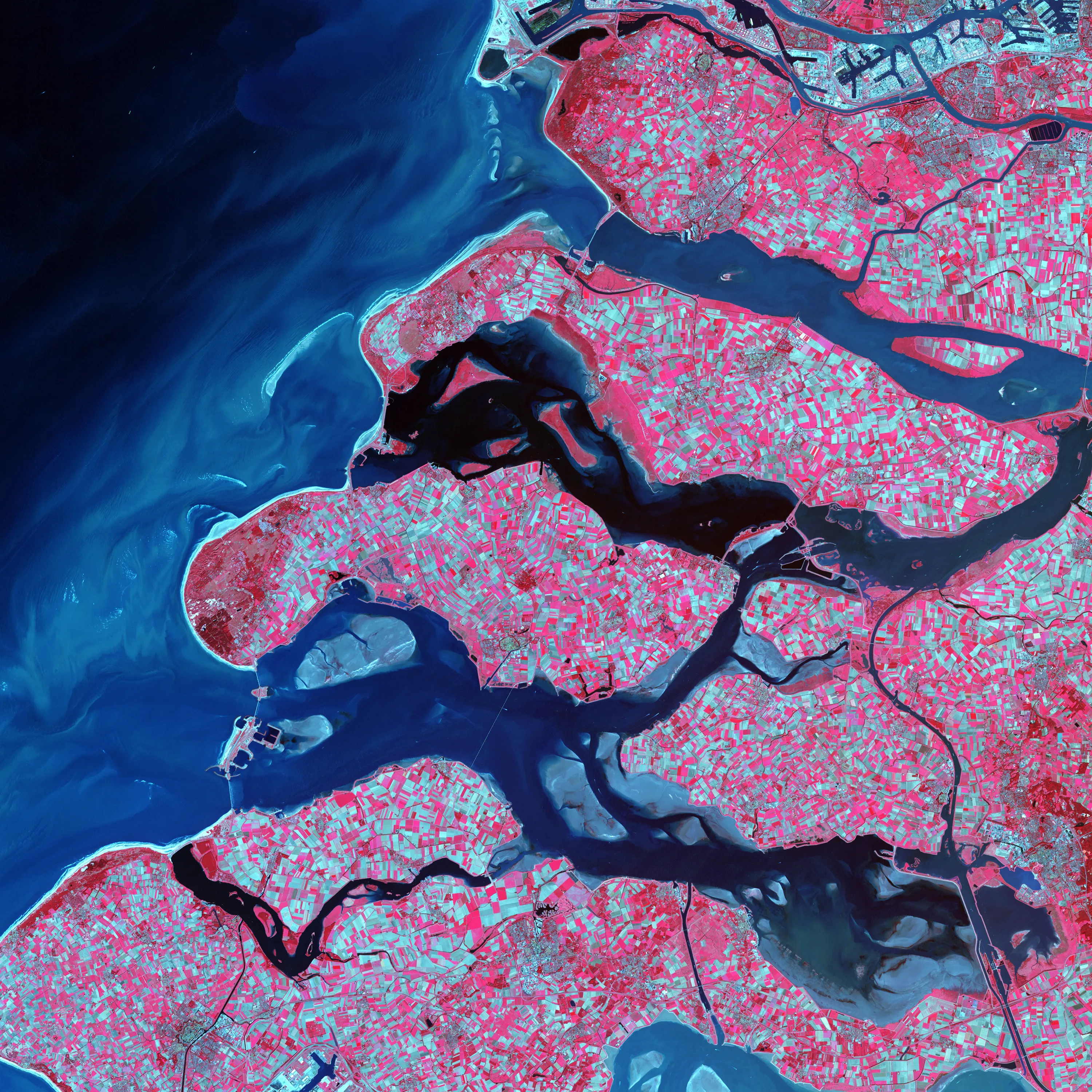
“Earth as Art” (in Hi-Res)
|
||
|
|
||
|
|
|
|
| ← Previous picture Next picture → | ||
|
Military Woman Gallery
Must See Places |
||
|
|
||
|
“Earth as Art” (in Hi-Res)
|
||
|
|
||
|
|
|
|
| ← Previous picture Next picture → | ||
|
Military Woman Gallery
Must See Places |
||
|
|
||