|
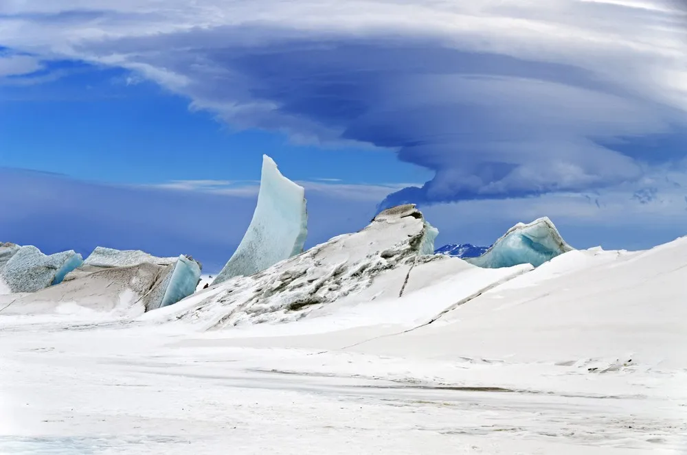
A handout picture made available by NASA on 13 May 2014 shows a multi-layered lenticular cloud hovering near Mount Discovery, a volcano about 70 km southwest of McMurdo Station on Ross Island, Antarctica, 24 November 2013. In 43 hours across five science flights in late November 2013, NASA's P-3 research aircraft collected more than 20,000 km worth of science data. Instruments gathered information about the thickness of the ice over sub glacial lakes, mountains, coasts, and frozen seas. The flights over Antarctica were part of Operation IceBridge, a multi-year mission to monitor conditions in Antarctica and the Arctic until a new ice-monitoring satellite, ICESat-2, launches in 2016. Lenticular clouds are a type of wave cloud. They usually form when a layer of air near the surface encounters a topographic barrier, gets pushed upward, and flows over it as a series of atmospheric gravity waves. Lenticular clouds form at the crest of the waves, where the air is coolest and water vapor is most likely to condense into cloud droplets. The bulging sea ice in the foreground is a pressure ridge, which formed when separate ice floes collided and piled up on each other. (Photo by Michael Studinger/EPA)
|

