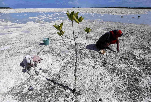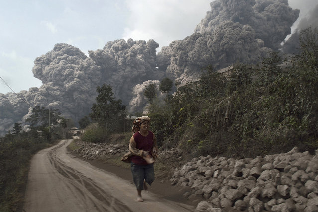
Filipino villagers escape to a safe area as the Mayon Volcano erupts anew in the town of Daraga, Albay province, Philippines, 23 January 2018. The Philippine Institute of Volcanology and Seismology (PHIVOLCS) agency on 22 January raised the alert level for the Mayon Volcano amid fears of a bigger eruption over the next few hours or days. (Photo by Francis R. Malasig/EPA/EFE)
24 Jan 2018 08:52:00,post received
0 comments