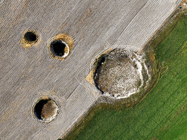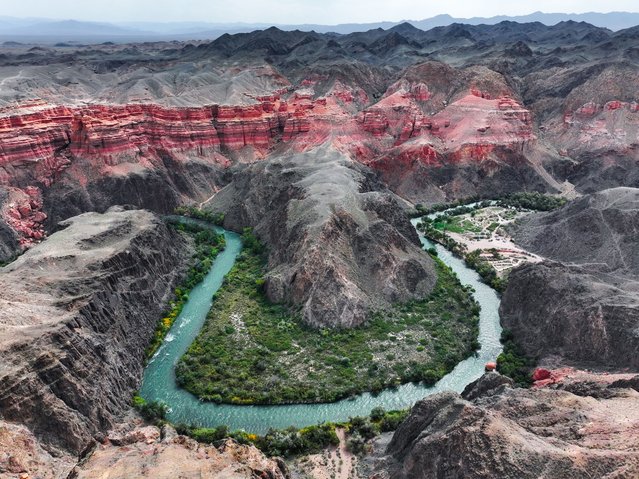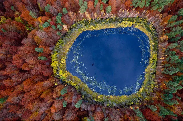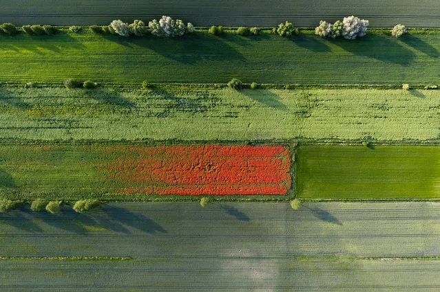
An aerial drone photo shows a view of the Wujiangzhai scenic spot in Zunyi, southwest China's Guizhou Province, March 14, 2024. The Wujiangzhai scenic spot, with its natural landscape and local folk customs, offers a blend of sightseeing, leisure activities and exhibitions, making it a popular destination for tourists. (Photo by Xinhua News Agency/Rex Features/Shutterstock)
08 Apr 2024 03:47:00,post received
0 comments