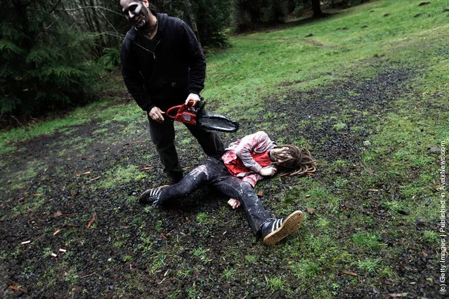
Participants learn how to survive in the wild, including tips on how to make it through a zombie invastion at a “Zombie First Responder” course March 11, 2012 in Sandy, Oregon. In an intensive 2-day curriculum participants train in everything from wilderness and urban survival, nerf or nerd weaponry, stealth and evasion, and proper zombie “disposal”. (Photo by Natalie Behring/Getty Images)
12 Mar 2012 10:38:00,post received
0 comments