In this photograph taken on June 11, 2018, Chinese artists performs during a Indo-China cultural exchange program in Kolkata, West Bengal, India. (Photo by Dibyangshu Sarkar/AFP Photo)
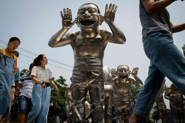
People walk passed sculptures by Chinese artist Minjun Yue on a street outside a museum in Beijing, China on July 5, 2018. (Photo by Nicolas Asfouri/AFP Photo)
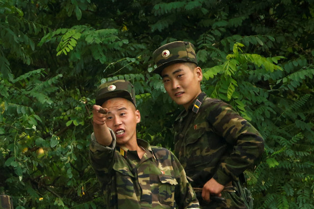
North Korean soldiers keep watch at the bank of the Yalu River, near the North Korean town of Sinuiju, opposite Dandong in China's Liaoning province, September 10, 2016. (Photo by Thomas Peter/Reuters)
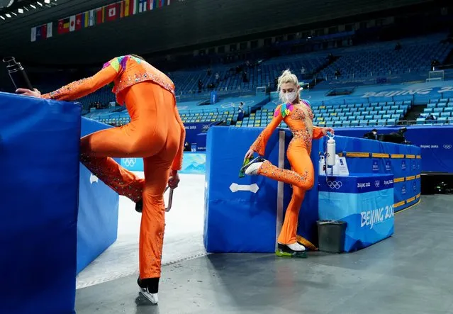
Paul Poirier of Canada and Marjorie Lajoie of Canada after training before the Figure Skating Ice Dance – Rhythm Dance at Capital Indoor Stadium in Beijing, China on February 12, 2022. (Photo by Aleksandra Szmigiel/Reuters)
A dog owner feeds her dog during a dinner for dogs event ahead of the Lunar New Year at Kong Shan Yunnan Bistro restaurant in Shanghai, China, on January 25, 2025. (Photo by Go Nakamura/Reuters)
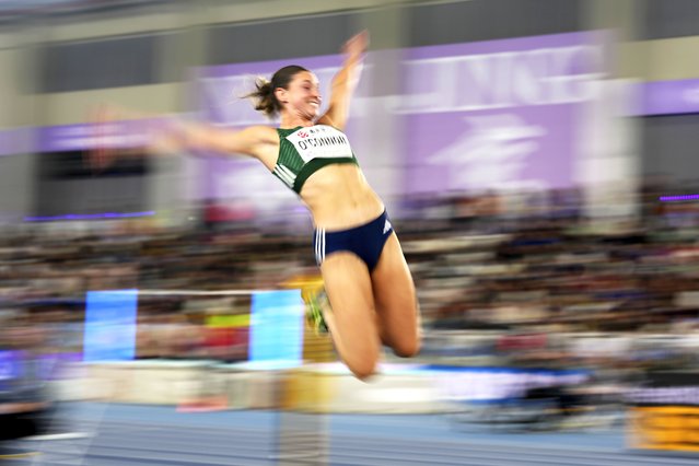
Kate O'Connor, of Ireland, makes an attempt in the pentathlon long jump at the World Athletics Indoor Championships in Nanjing, China, Friday, March 21, 2025. (Photo by Vincent Thian/AP Photo)
A woman poses for a souvenir photo with a cat statue on display at the Shenzhen Bay commercial district, in Shenzhen, China's Guangdong province, Monday, September 15, 2025. (Photo by Andy Wong/AP Photo)
From Britain to China to Mali, new maps showing travel times to the nearest urban centre reveal huge differences between countries. Using Open Street Map and Google, a University of Oxford team have created a visual breakdown that suggests major inequalities when it comes to commuting. Here: China. The dataset used for China was unique as it relied solely on Open Street Map, due to restrictions on accessing Google data. The population is densely concentrated in the east and accessibility is increased, whereas rural provinces in the west remain remote. (Photo by Daniel Weiss/Jennifer Rozier/Malaria Atlas Project/University of Oxford)