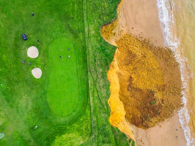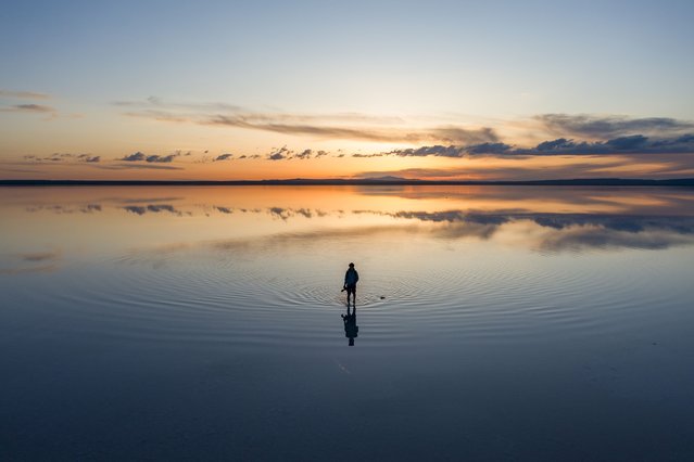
An aerial view of a man standing on Lake Tuz, Turkiye's second largest lake, during sunset in Ankara, Turkiye on April 22, 2024. The lake, which is on the UNESCO World Heritage Tentative List with its unique natural structure, welcomes many local and foreign tourists every year as it provides 70 per cent of the country's salt needs. (Photo by Hakan Nural/Anadolu via Getty Images)
01 Jul 2024 04:27:00,post received
0 comments