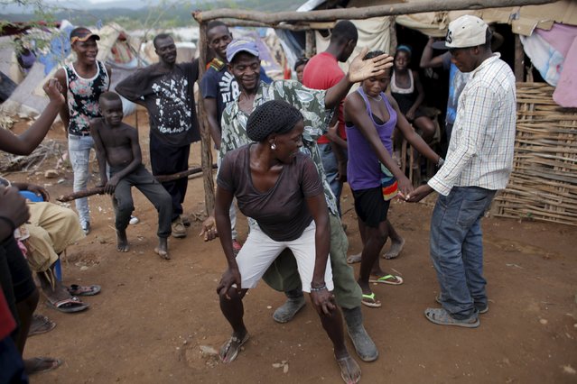
People enjoy themselves as they dance to Dominican music at a refugee camp for Haitians returning from the Dominican Republic on the outskirts of Anse-a-Pitres, Haiti, September 6, 2015. Dominican officials last month began implementing a controversial immigration program targeting Haitian migrants and Dominican-born people of Haitian descent. The program centers on round-ups and deportations that have triggered concerns about a slow-growing border migration crisis in the poorest country in the Americas. So far about 1,500 people have been deported at a pace of 50 to 100 per day, according to relief officials with access to records supplied by the Dominican government. (Photo by Andres Martinez Casares/Reuters)
21 Sep 2015 11:29:00,post received
0 comments