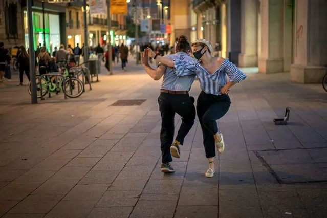
Professional dancer Sandy Lewis, from Louisiana, performs with his dance partner Marti Gasol, as they train in the street due to restrictions to do it indoor, in Barcelona on Wednesday, November 11, 2020 as Spain continue with new measures against the COVID-19. (Photo by Emilio Morenatti/AP Photo)
13 Nov 2020 00:07:00,post received
0 comments