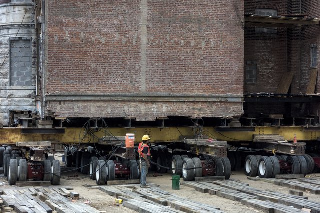
A worker stands by a historic building as it is moved down the block on wheels on New York Avenue to make way for a new construction July 28, 2014 in Washington, DC. A team from Expert House Movers have been moving the historic building near 4th Street which is one of the largest structures in the DC area to be moved. (Photo by Brendan Smialowski/AFP Photo)
31 Jul 2014 09:48:00,post received
0 comments