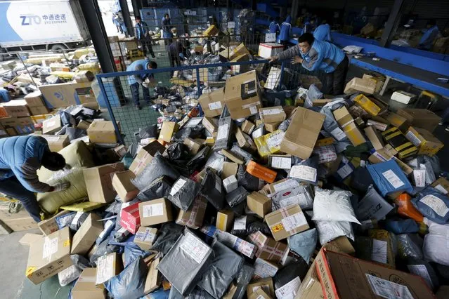
Employees work at a sorting centre of Zhongtong (ZTO) Express ahead of the Singles Day shopping festival, Chaoyang District, Beijing, November 8, 2015. On China's giant Singles Day internet shopping festival, the country's delivery firms are stretched so thin that they are looking for tie-ups, listings and new investors to husband their resources. (Photo by Jason Lee/Reuters)
13 Nov 2015 08:00:00,post received
0 comments