“The Owens River is a river in southeastern California in the United States, approximately 183 miles (295 km) long. It drains into and through the Owens Valley, an arid basin between the eastern slope of the Sierra Nevada and the western faces of the Inyo and White Mountains. The river terminates at Owens Lake, but its flow is greatly diminished by diversion into the Los Angeles Aqueduct since 1913.
Owens Lake is a mostly dry lake in the Owens Valley on the eastern side of the Sierra Nevada in Inyo County, California. It is located about 5 miles (8.0 km) south of Lone Pine, California. Unlike most dry lakes in the Basin and Range Province that have been dry for thousands of years, Owens held significant water until 1924, until much of the Owens River was diverted into the Los Angeles Aqueduct, causing it to desiccate. Today, some of the flow of the river has been restored, and the lake now contains some water”. – Wikipedia
Owens Lake is a mostly dry lake in the Owens Valley on the eastern side of the Sierra Nevada in Inyo County, California. It is located about 5 miles (8.0 km) south of Lone Pine, California. Unlike most dry lakes in the Basin and Range Province that have been dry for thousands of years, Owens held significant water until 1924, until much of the Owens River was diverted into the Los Angeles Aqueduct, causing it to desiccate. Today, some of the flow of the river has been restored, and the lake now contains some water”. – Wikipedia
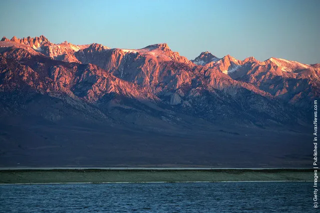
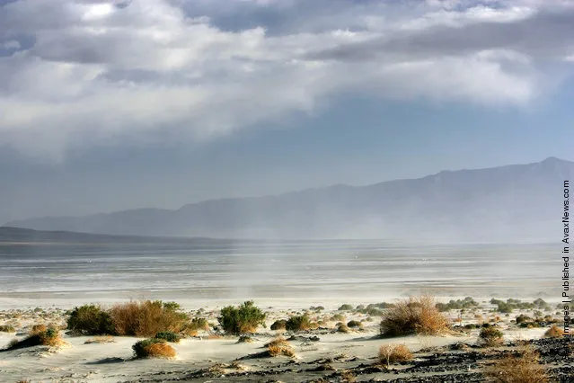
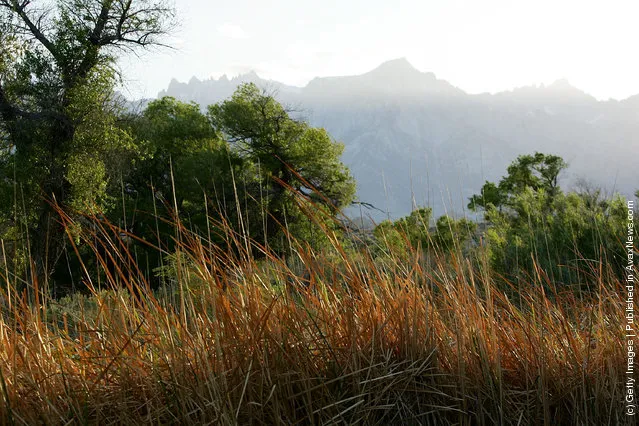
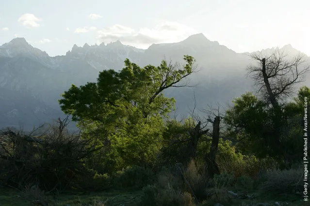
The Sierra Nevada Mountains rise to more than 14,000 feet in elevation behind Owens Lake, fed by the snows of the Sierras which are currently lower than one-fifth its normal depth, on May 6, 2007 near Lone Pine, California. (Photo by David McNew/Getty Images)

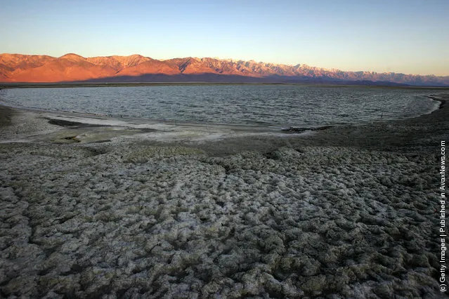
A salty crust of fine dust covers the mostly-dry Owens Lake bed on May 6, 2007 near Lone Pine, California. (Photo by David McNew/Getty Images)
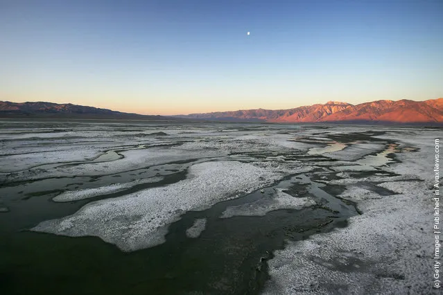
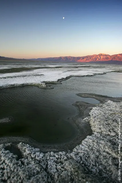
Large shallow pools of restored water cover portions the salty crust of mostly-dry Owens Lake on May 6, 2007 near Lone Pine, California. (Photo by David McNew/Getty Images)
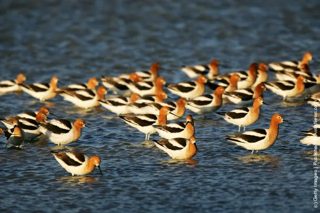
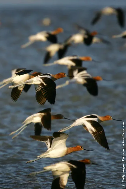
Avocets in breeding plumage fly over restored water that covers portions of the salty crust of mostly-dry Owens Lake on May 6, 2007 near Lone Pine, California. (Photo by David McNew/Getty Images)
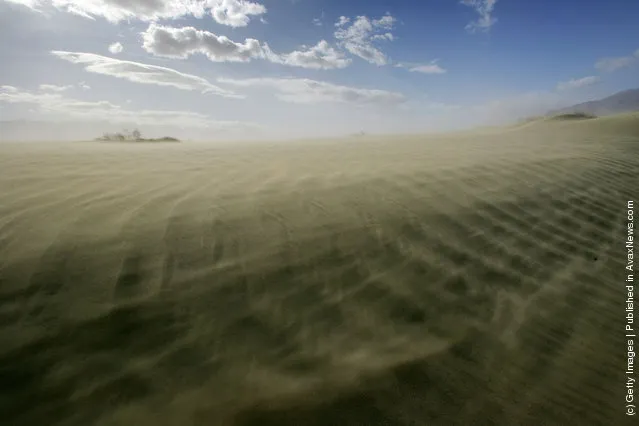
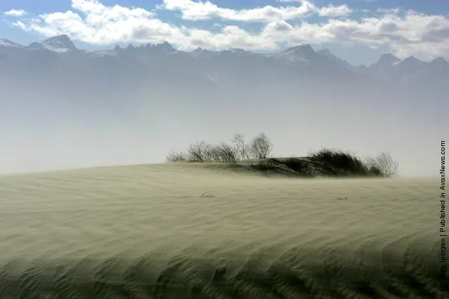
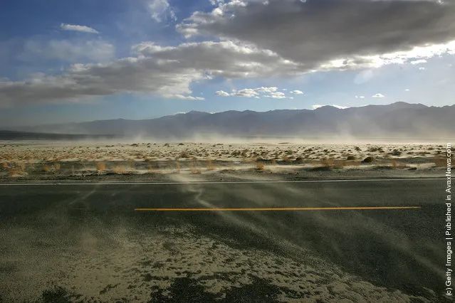
High winds blow sand across the highway near the original north shore of Owens Lake, now miles from the nearest pool of water, on May 5, 2007 near Lone Pine, California. (Photo by David McNew/Getty Images)
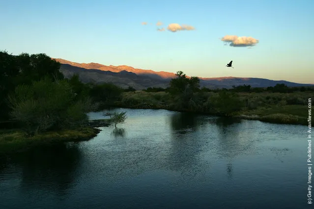
A great blue heron flies at dusk over the lower Owens River before it empties into Owens Lake on May 5, 2007 near Lone Pine, California. (Photo by David McNew/Getty Images)
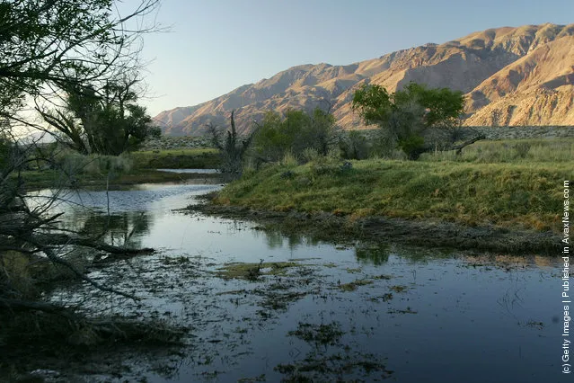

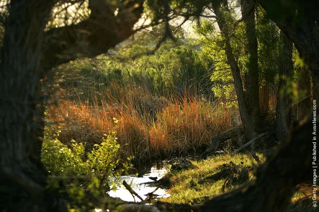
Riparian, or streamside, habitat along the lower Owens River before it empties into Owens Lake on May 5, 2007 near Lone Pine, California. (Photo by David McNew/Getty Images)
28 Sep 2011 11:33:00,
post received
0 comments