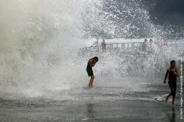
Surfers take advantage of the waves created by Hurricane Irene as it passes off the coast on August 25, 2011 in Fort Lauderdale, Florida. Irene is moving over the Bahamas and could still be a major storm as it approaches the North Carolina coast the morning of August 27. (Photo by Joe Raedle/Getty Images)


Surfers take advantage of the waves created by Hurricane Irene as it passes off the coast on August 25, 2011 in Fort Lauderdale, Florida. Irene is moving over the Bahamas and could still be a major storm as it approaches the North Carolina coast the morning of August 27. (Photo by Joe Raedle/Getty Images)
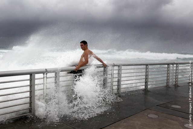
Cory Ritz braces himself as a wave bursts onto a pier at the Boynton Beach inlet on August 25, 2011 in Boynton Beach, Florida. (Photo by Joe Raedle/Getty Images)
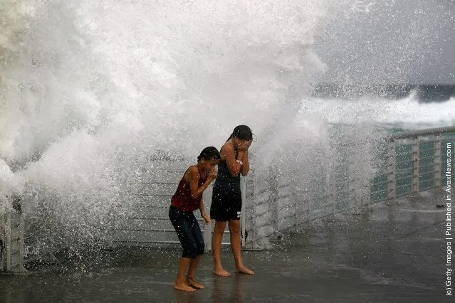
Lilyana Fowler (L) and Isabella Lugli brace themselves as a wave bursts onto a pier at the Boynton Beach inlet on August 25, 2011 in Boynton Beach, Florida. (Photo by Joe Raedle/Getty Images)

In this handout MODIS satellite image provided by the NASA Goddard Space Flight Center, Hurricane Irene (top center) churns over the Bahamas on August 24, 2011 in the Caribbean Sea. Irene, now a Category 3 storm with winds of 120 miles per hour, is projected to possibly clip the Outer Banks region of North Carolina before moving up the eastern seaboard of the U.S. (Photo by NASA via Getty Images)
26 Aug 2011 09:11:00,
post received
0 comments