It looks like a kiss but this male and female blackbird were fighting in flight in Charlton Adam, Somerset, South West England in July 2022. (Photo by Ben Pulletz/Solent News)
A CRH train is seen passing through Nanjing South Railway Station, which is part of the Beijing-Shanghai High-Speed Railway Line, on March 27, 2011 in Nanjing, Jiangsu Province of China. The High-Speed railway line is 1,318 kilometres long, running between Beijing and Shanghai. The line will open on June 10, 2011. (Photo by ChinaFotoPress/Getty Images)
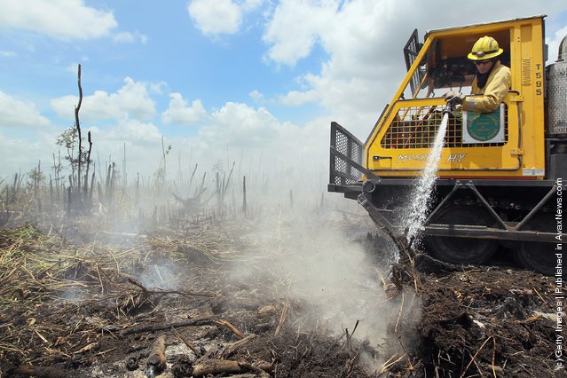
Florida Division of Forestry fire fighter, Tim Abramczyk, sprays foam on a hotspot that flared up as he works on containing a 50,316-acre brush fire on June 10, 2011 in West Dade, Florida. The fire started last weekend as South Florida continues to endure a dry start to the rainy season and drought conditions have begun to appear. The forestry division has the fire about 55 percent contained. (Photo by Joe Raedle/Getty Images)
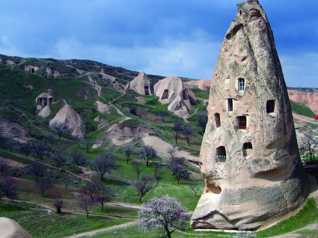
Cappadocia is a historical region in Central Anatolia, largely in Nevşehir Province, in Turkey.
In the time of Herodotus, the Cappadocians were reported as occupying the whole region from Mount Taurus to the vicinity of the Euxine (Black Sea). Cappadocia, in this sense, was bounded in the south by the chain of the Taurus Mountains that separate it from Cilicia, to the east by the upper Euphrates and the Armenian Highland, to the north by Pontus, and to the west by Lycaonia and eastern Galatia.
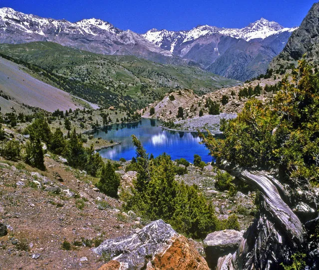
Fann Mountains are part of the western Pamir-Alay mountain system and are located in Tajikistan's Sughd Province between the Zarafshan Range to the north and the Gissar Range to the south (see map of Fann Mountains). In the east-west direction they extend from Fandarya River to Archimaydan River, and the cluster of Marguzor lakes west of Archimaydan is also included in the Fanns.
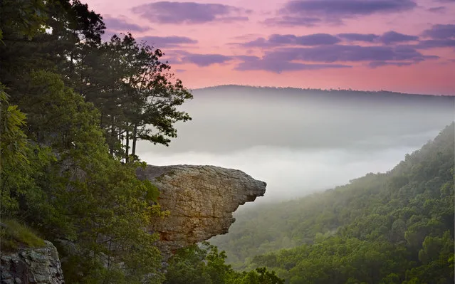
The Hawksbill Crag, also known as Whitaker Point, is located along the northern edge of the Upper Buffalo Wilderness in the Ozark National Forest, just south of the Buffalo National River. It is easily one of the most photograped and recognizable features in Arkansas, and is often seen on publications depicting the outdoors in Arkansas. The hike to it is an easy 3.0 mile round trip, and offers scenic vistas, huge boulders, beautiful waterfalls and colorful wildflowers.
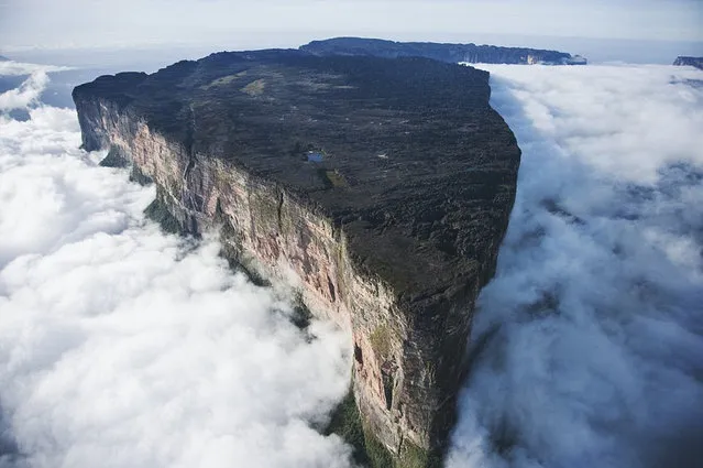
Mount Roraima (Spanish: Monte Roraima, also known as Tepuy Roraima and Cerro Roraima; Portuguese: Monte Roraima [ˈmõtʃi ʁoˈɾajmɐ]) is the highest of the Pakaraima chain of tepui plateau in South America. First described by the English explorer Sir Walter Raleigh in 1596, its 31 km2 summit area is defended by 400-metre-tall cliffs on all sides. The mountain includes the triple border point of Venezuela, Brazil and Guyana.
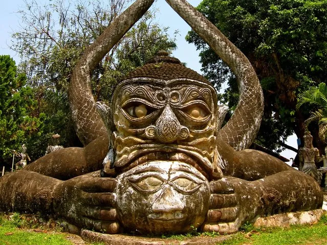
Laos, officially the Lao People's Democratic Republic, is a landlocked country in Southeast Asia, bordered by Burma and China to the northwest, Vietnam to the east, Cambodia to the south, and Thailand to the west. Its population was estimated to be around 6.5 million in 2012. A third (33%) of the country's population lives below the international poverty line which means living on less than U.S. $1.25 per day.