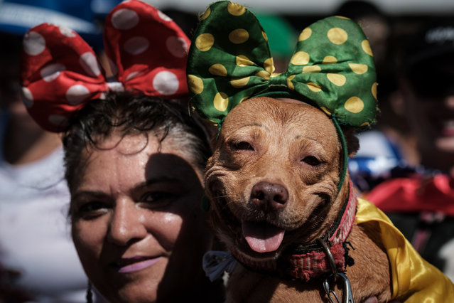
A reveller holds her dog dressed in costume, during the Rio Dog Carnival, known as the Blocao – with “bloco” meaning street party and “cao” dog, during pre- carnival celebrations at Copacabana beach in Rio de Janeiro, Brazil, on February 19, 2017. (Photo by Yasuyoshi Chiba/AFP Photo)
22 Feb 2017 00:05:00,post received
0 comments