An initiate sprays out his fan as he enjoys the view from atop his father's shoulders during the ceremony in Mae Hong Son, Thailand, April 2016. (Photo by Claudio Sieber/Barcroft Images)
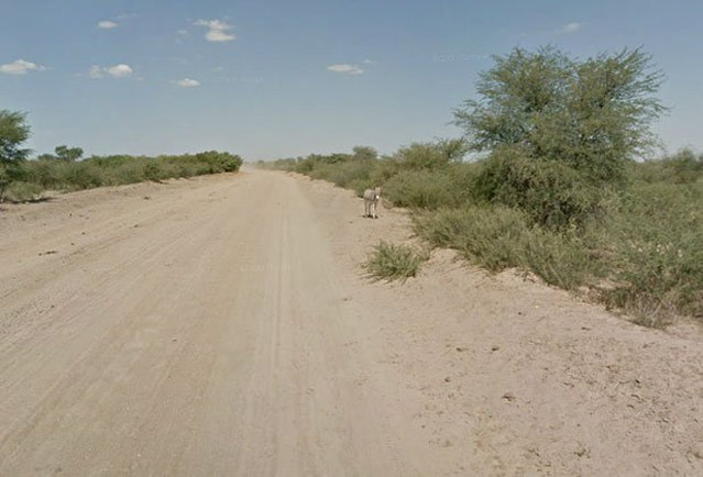
When Google Maps was capturing images of a Street View in Botswana, it appeared that this donkey had been hit by a car. However, a representative from Google Maps has confirmed that the donkey was merely enjoying a roll in the dirt and is alive and well.
A woman wears VR glasses while the projection mapping is cast on table and walls during its media preview at “TREE BY NAKED, yoyogi park” restaurant in Tokyo, Japan on July 19, 2018. This restaurant incorporates virtual reality, projection mapping, and music to enhance diners' enjoyment of their food. (Photo by Kim Kyung-Hoon/Reuters)
UK Love Island's Maura Higgins attends the Pretty Little Thing X Molly-Mae party at Rosso on September 01, 2019 in Manchester, England. (Photo by Splash News and Pictures)
An air raid drill at Seattle College caught students William Bates, left, and Edna Mae Farrell, right, while they were eating their lunch in the school café, but they simply took shelter under the table and continued eating in Seattle, Washington, March 17, 1942. Air raid wardens said 350 students left their classrooms and assembled in shelters within one minute in first at the college. (Photo by AP Photo)
Jensen a two-year-old False Map turtle, from the Mississippi River, gets used to his new home at Blackpool Sea Life Centre on February 13, 2012 in Blackpool, England. (Photo by Christopher Furlong/Getty Images)
The Japanese punk rock garage quartet Otoboke Beaver perform at Maggie Mae's at the South by Southwest (SXSW) Music Film Interactive Festival 2017 in Austin, Texas, U.S., March 17, 2017. (Photo by Brian Snyder/Reuters)
From Britain to China to Mali, new maps showing travel times to the nearest urban centre reveal huge differences between countries. Using Open Street Map and Google, a University of Oxford team have created a visual breakdown that suggests major inequalities when it comes to commuting. Here: China. The dataset used for China was unique as it relied solely on Open Street Map, due to restrictions on accessing Google data. The population is densely concentrated in the east and accessibility is increased, whereas rural provinces in the west remain remote. (Photo by Daniel Weiss/Jennifer Rozier/Malaria Atlas Project/University of Oxford)