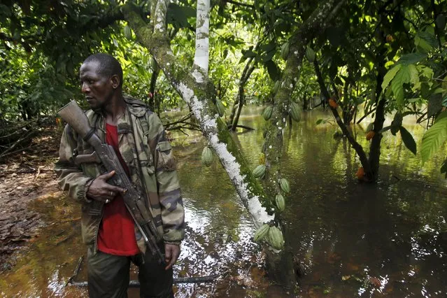
An agent of the OIPR, one of the government agencies charged with managing protected land, stands next to cocoa trees inside Mont Peko National Park in Duekoue department, western Ivory Coast August 18, 2015. (Photo by Luc Gnago/Reuters)
08 Oct 2015 08:06:00,post received
0 comments