Jensen a two-year-old False Map turtle, from the Mississippi River, gets used to his new home at Blackpool Sea Life Centre on February 13, 2012 in Blackpool, England. (Photo by Christopher Furlong/Getty Images)
From Britain to China to Mali, new maps showing travel times to the nearest urban centre reveal huge differences between countries. Using Open Street Map and Google, a University of Oxford team have created a visual breakdown that suggests major inequalities when it comes to commuting. Here: China. The dataset used for China was unique as it relied solely on Open Street Map, due to restrictions on accessing Google data. The population is densely concentrated in the east and accessibility is increased, whereas rural provinces in the west remain remote. (Photo by Daniel Weiss/Jennifer Rozier/Malaria Atlas Project/University of Oxford)
Video bloggers stream live broadcast of an event to celebrate the fourth birthday of the world's only giant panda triplets, Meng Meng, Shuai Shuai and Ku Ku, at Chimelong Safari Park in Guangzhou, China July 29, 2018. (Photo by Bobby Yip/Reuters)
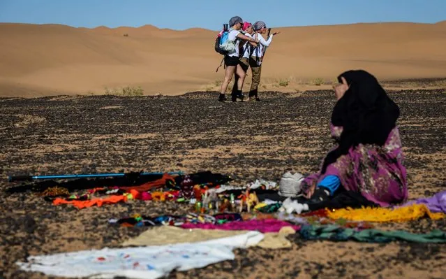
Women take part in the desert trek “Rose Trip Maroc”, on November 1, 2019 in the erg Chebbi near Merzouga. The Rose Trip Maroc is a female-oriented trek where teams of three must travel through the southern Moroccan Sahara desert with a compass, a map and a topographical reporter. (Photo by Jean-Philippe Ksiazek/AFP Photo)
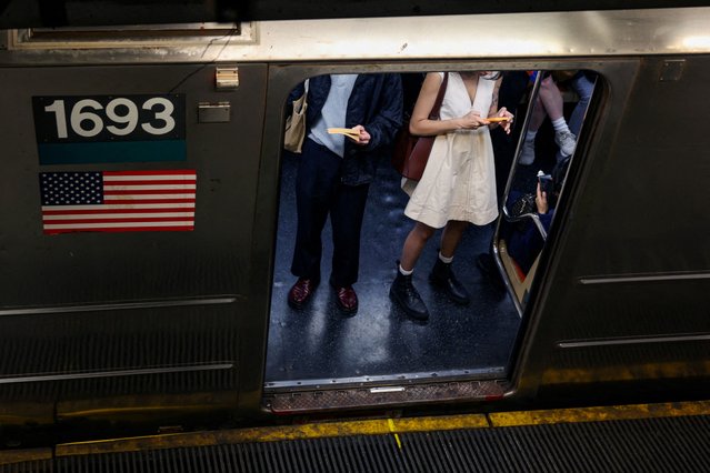
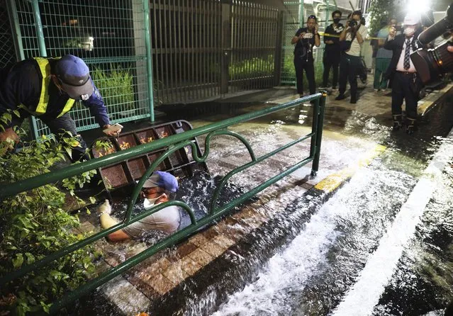
A road is soaked in water following an earthquake, in Tokyo, early Friday, October 8, 2021. A powerful earthquake shook the Tokyo area on Thursday night, halting trains and subways. (Photo by Kyodo News via AP Photo)