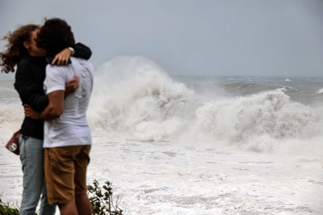
A couple kiss as strong waves hit the coast in Saint-Benoit, on the east of the French Indian Ocean island of La Reunion, on February 2, 2022, ahead of the passage of tropical cyclone Batsirai. La Reunion goes on red alert at 7 pm on February 2, to prepare for the likely passage of cyclone Batsirai overnight. The cyclone already left at least 7,500 homes in nearby Mauritius without power, after it brought heavy downpours and winds of around 120 kilometres per hour, knocking down trees onto electricity lines, according to the local electricity board. (Photo by Richard Bouhet/AFP Photo)
03 Feb 2022 07:38:00,post received
0 comments