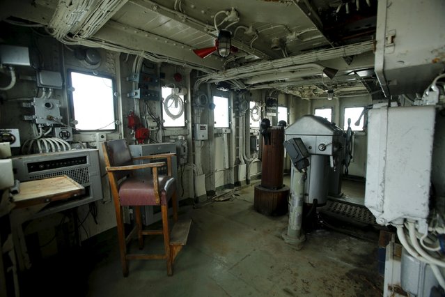
The interior of the ship's bridge on the yacht Galeb is seen in the port city of Rijeka, December 16, 2015. Rijeka announced plans to convert the yacht Galeb used by Yugoslavia's communist leader Josip Broz Tito into a floating museum moored in the city's harbour. Now in disrepair, the 117-metre ship was an iconic symbol of luxury and used by Tito from the 1950s until his death in 1980 to entertain world leaders and celebrities, including the likes of Khruschev, Gaddafi, Indira Gandhi, Elizabeth Taylor and Richard Burton. (Photo by Antonio Bronic/Reuters)
20 Dec 2015 08:03:00,post received
0 comments