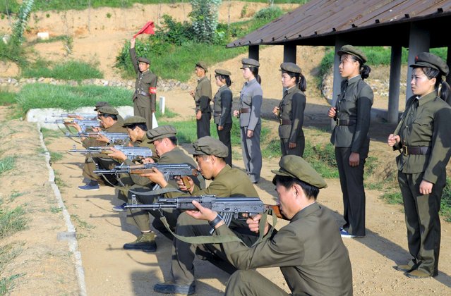
North Koreans who signed up to join the army train in the midst of political tension with South Korea, in this undated photo released by North Korea's Korean Central News Agency (KCNA) in Pyongyang August 23, 2015. Top aides to the leaders of North and South Korea resumed talks on Sunday after negotiating through the night in a bid to ease tensions involving an exchange of artillery fire that brought the peninsula to the brink of armed conflict. (Photo by Reuters/KCNA)
25 Aug 2015 10:08:00,post received
0 comments