Loading...
Done


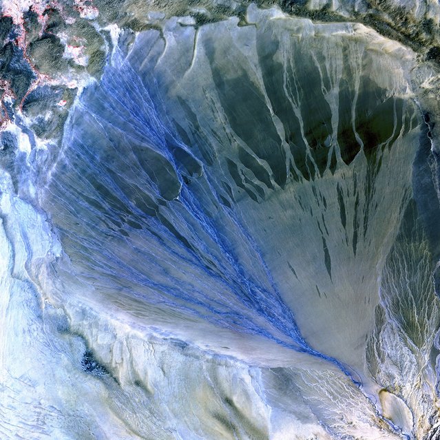
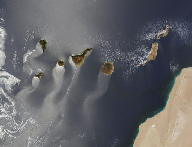
Defined according to wikipedia it is “a recent and informal geologic chronological term that serves to mark the evidence and extent of human activities that have had a significant global impact on the Earth’s ecosystems. The term was coined by ecologist Eugene Stoermer but has been widely popularized by the Nobel Prize-winning atmospheric chemist Paul Crutzen.”

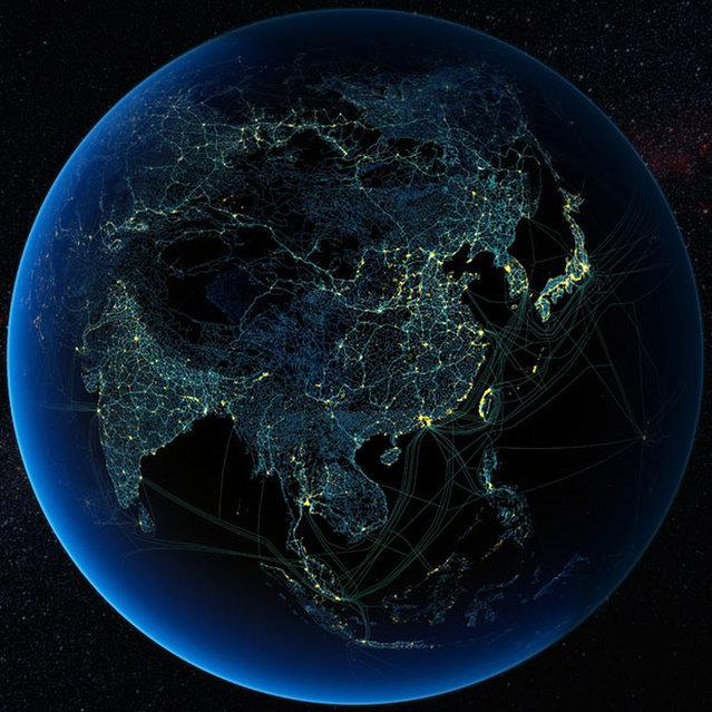
The images here where created by Felix Pharand-Deschenes depicting how various human influences, from road and rail, to internet cables and airlines create significant patterns covering the Earth. What can we learn from these patterns in how they are influencing the environment
Details
19 Aug 2012 10:40:00
The Ultimate Bigot’s Calendar of the World

If you missed geography class in school here some maps to understand how the world looks! :)
Details
11 May 2012 05:34:00
Metro map: Barcelona, Spain. (Photo by Jug Cerovic)

Metro map: Barcelona, Spain. (Photo by Jug Cerovic)
Details
22 Apr 2014 08:24:00
Daniel Filip, Tech Lead Manager for Google Maps, carries the Trekker, a 15-camera device, while mapping the Inca citadel of Machu Picchu for Google Street View in Cuzco, Peru, August 11, 2015. (Photo by Pilar Olivares/Reuters)

Daniel Filip, Tech Lead Manager for Google Maps, carries the Trekker, a 15-camera device, while mapping the Inca citadel of Machu Picchu for Google Street View in Cuzco, Peru, August 11, 2015. (Photo by Pilar Olivares/Reuters)
Details
07 Dec 2015 08:02:00
A worker lays rails across the bed of a drained area of a lake used for the production of salt at the Sasyk-Sivash lake near the city of Yevpatoria in Crimea, October 5, 2014. (Photo by Pavel Rebrov/Reuters)

A worker lays rails across the bed of a drained area of a lake used for the production of salt at the Sasyk-Sivash lake near the city of Yevpatoria in Crimea, October 5, 2014. The area has a long tradition of salt production, prepared from salt flats flooded with water from the Black Sea. (Photo by Pavel Rebrov/Reuters)
Details
07 Oct 2014 11:24:00
Canary Islands. (Photo by NASA)

Canary Islands. (Photo by NASA)
Details
29 Dec 2013 08:23:00
Alluvial Fan, China. A vast alluvial fan blossoms across the desolate landscape between the Kunlun and Altun mountain ranges that form the southern border of the Taklimakan Desert in China’s XinJiang Province. Image taken by the ASTER instrument on NASA’s Terra satellite on May 2nd, 2002. (Photo by NASA/GSFC/USGS EROS Data Center)

Alluvial Fan, China. A vast alluvial fan blossoms across the desolate landscape between the Kunlun and Altun mountain ranges that form the southern border of the Taklimakan Desert in China’s XinJiang Province. Image taken by the ASTER instrument on NASA’s Terra satellite on May 2nd, 2002. (Photo by NASA/GSFC/USGS EROS Data Center)
Details
07 Jan 2013 09:27:00
A guard dog in the suburbs of Yakutsk, Russia, January 2014. (Photo by Amos Chapple/REX Features)

A guard dog in the suburbs of Yakutsk, Russia, considered to be the coldest city in the world, January 2014. (Photo by Amos Chapple/REX Features)
Details
30 Jan 2015 10:49:00