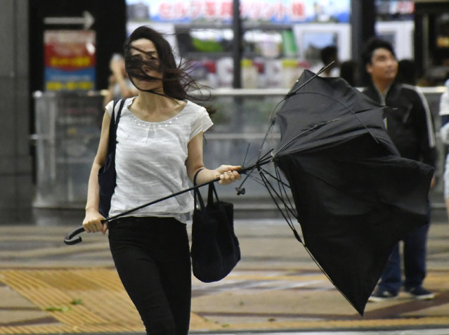
A woman holds broken umbrella as a powerful typhoon hits Osaka, western Japan, Tuesday, September 4, 2018. A powerful typhoon blew through western Japan on Tuesday, causing heavy rain to flood the region's main offshore international airport and high winds to blow a tanker into a connecting bridge, disrupting land and air travel. (Photo by Nobuki Ito/Kyodo News via AP Photo)
05 Sep 2018 09:20:00,post received
0 comments