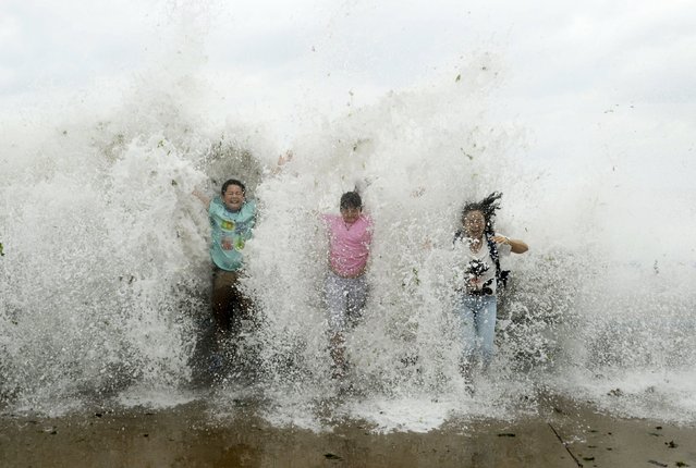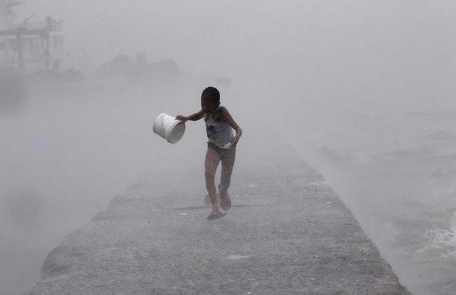
A woman holds her umbrella while walking against strong winds as Typhoon Soudelor approaches Taiwan in Taipei, August 7, 2015. Taiwan evacuated hundreds of people from their homes on Friday as the strongest typhoon to threaten the island in two years churned towards it and was expected to make landfall early on Saturday. (Photo by Pichi Chuang/Reuters)
08 Aug 2015 13:06:00,post received
0 comments