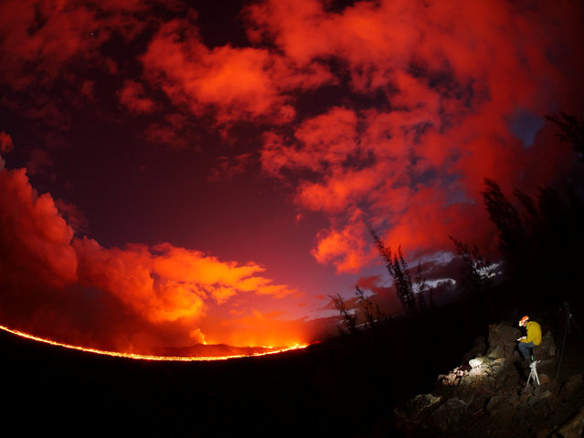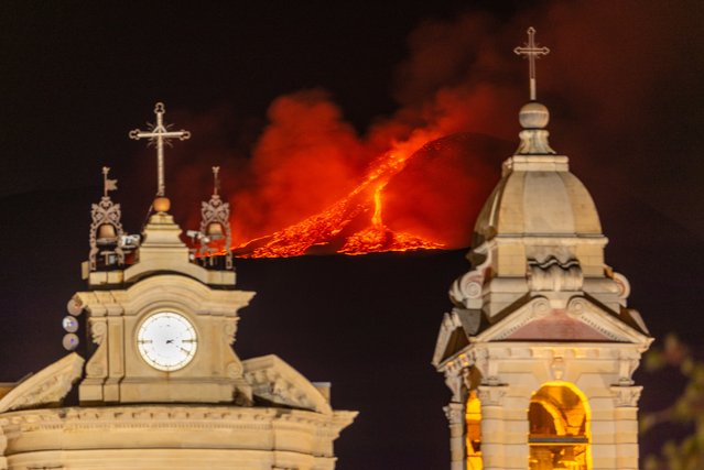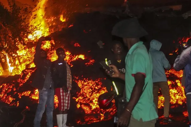
People stand and take selfies in front of lava from the eruption of Mount Nyiragongo, in Buhene, on the outskirts of Goma, Congo in the early hours of Sunday, May 23, 2021. Congo's Mount Nyiragongo erupted for the first time in nearly two decades Saturday, turning the night sky a fiery red and sending lava onto a major highway as panicked residents tried to flee Goma, a city of nearly 2 million. (Photo by Justin Kabumba/AP Photo)
24 May 2021 08:29:00,post received
0 comments