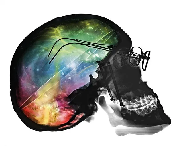
These stunning coloured images show detailed x-ray images of everything from skulls to light bulbs. Artist Paula Fontaine, from Westminster Massachusetts, created the images using a process called digital map painting. To create the images the x-ray emission source – the head of the machine on an arm which focuses the beam – is placed over the object. Paula then retreats behind a shielded screen before activating the x-ray exposure. Here: Brain storm, conceptual composite X-ray. (Photo by Paula Fontaine/Barcroft Media)
27 Mar 2015 13:34:00,post received
0 comments