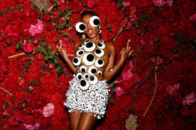
Four year old Kaleb Stanley (R), from Dublin, reaches up to puncture a giant bubble with the help of his seven year old brother Jacob on London's South Bank on May 9, 2008 in England. (Photo by Peter Macdiarmid/Getty Images)
Men at work at the Cardiff Institute, making huge baskets, unique in size and construction, for loading oil cake in South Africa. (Photo by Maeers/Getty Images). 1938
Prince Philip, the Duke of Edinburgh meets members of the cast of “Chicago” during a visit to the Adelphi Theatre in this March 4, 1999 file photo in London, England. (Photo by Anwar Hussein/Getty Images)
2016 Rio Olympics, Weightlifting, Final, Women's 69kg, Riocentro, Pavilion 2, Rio de Janeiro, Brazil on August 10, 2016. Leidy Solis (COL) of Colombia competes. (Photo by Stoyan Nenov/Reuters)
From Britain to China to Mali, new maps showing travel times to the nearest urban centre reveal huge differences between countries. Using Open Street Map and Google, a University of Oxford team have created a visual breakdown that suggests major inequalities when it comes to commuting. Here: China. The dataset used for China was unique as it relied solely on Open Street Map, due to restrictions on accessing Google data. The population is densely concentrated in the east and accessibility is increased, whereas rural provinces in the west remain remote. (Photo by Daniel Weiss/Jennifer Rozier/Malaria Atlas Project/University of Oxford)
Gina Di Meo, journalist from ANSA sits during a media preview of Summit at One Vanderbilt in New York, October 1, 2021. The Summit viewing deck is spread across the top four floors on One Vanderbilt in Manhattan, the fourth tallest building in the city. (Photo by Timothy A. Clary/AFP Photo)