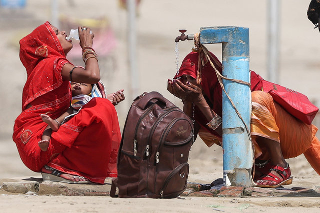
Women quench their thirst with the tap water on a hot summer afternoon during heatwave in Prayagraj on June 10, 2024. India's heatwave is the longest ever to hit the country, the government's top weather expert said on June 10 as he warned people will face increasingly oppressive temperatures. Parts of northern India have been gripped by a heatwave since mid-May, with temperatures soaring over 45 degrees Celsius (113 degrees Fahrenheit). (Photo by Anil Shakya/AFP Photo)
19 Jun 2024 04:50:00,post received
0 comments