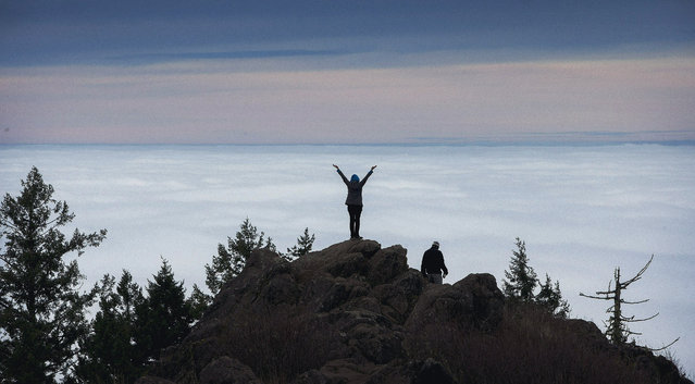
It might have been foggy in the Willamette Valley, but Cerridwen Martin was able to revel in a view of the top of the clouds from the summit of Spencer Butte in Eugene, Ore., on Tuesday, December 16, 2014. Martin was joined by Joe Martinson, right, for the 1.1 mile trek. Fog shrouded much of the city for most of the day. (Photo by Andy Nelson/AP Photo/The Register-Guard)
20 May 2015 09:26:00,post received
0 comments