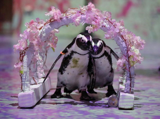
Penguins Momo and Omochi are seen while the projection mapping images is being cast during a media preview for their free online animal shows for children and families staying at home during Golden Week holidays due to the coronavirus disease (COVID-19) lockdown, at the Aqua Park Shinagawa in Tokyo, Japan on April 30, 2020. (Photo by Issei Kato/Reuters)
11 May 2020 00:01:00,post received
0 comments