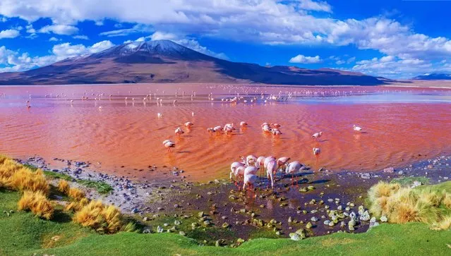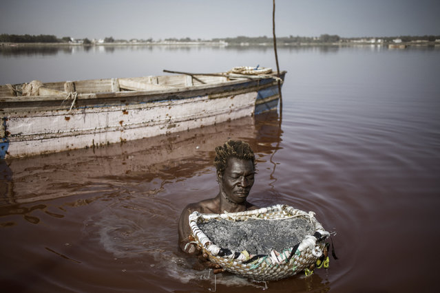
Toure, a Gambian salt harvester, holds a basket filled with the salt collected from the crust of the bottom of the Lake Retba (Pink Lake) in Senegal on March 16, 2021. Lake Retba, divided from the Atlantic Ocean by a narrow corridor of dunes, owes its name to the pink waters caused by the Dunaliella salina algae and is known for its high salt content, up to 40% in some areas. (Photo by Marco Longari/AFP Photo)
24 Mar 2021 10:29:00,post received
0 comments