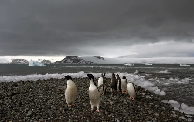
In this January 27, 2015 photo, penguins walk on the shore of Bahia Almirantazgo in Antarctica. Antarctica “is big and it's changing and it affects the rest of the planet and we can't afford to ignore what's going on down there”, said David Vaughan, science director of the British Antarctic Survey. (Photo by Natacha Pisarenko/AP Photo)
22 Feb 2015 10:45:00,post received
0 comments